Speak to the Team


DISTANCES API
Maritime routing, built into your applications.
Calculate sea routes and maritime distances worldwide, with configurable routing preferences. Bring trusted distance data directly into the systems and workflows your teams already use.
Trusted by Industry Leaders






Trusted maritime distances. Ready for your technology stack.
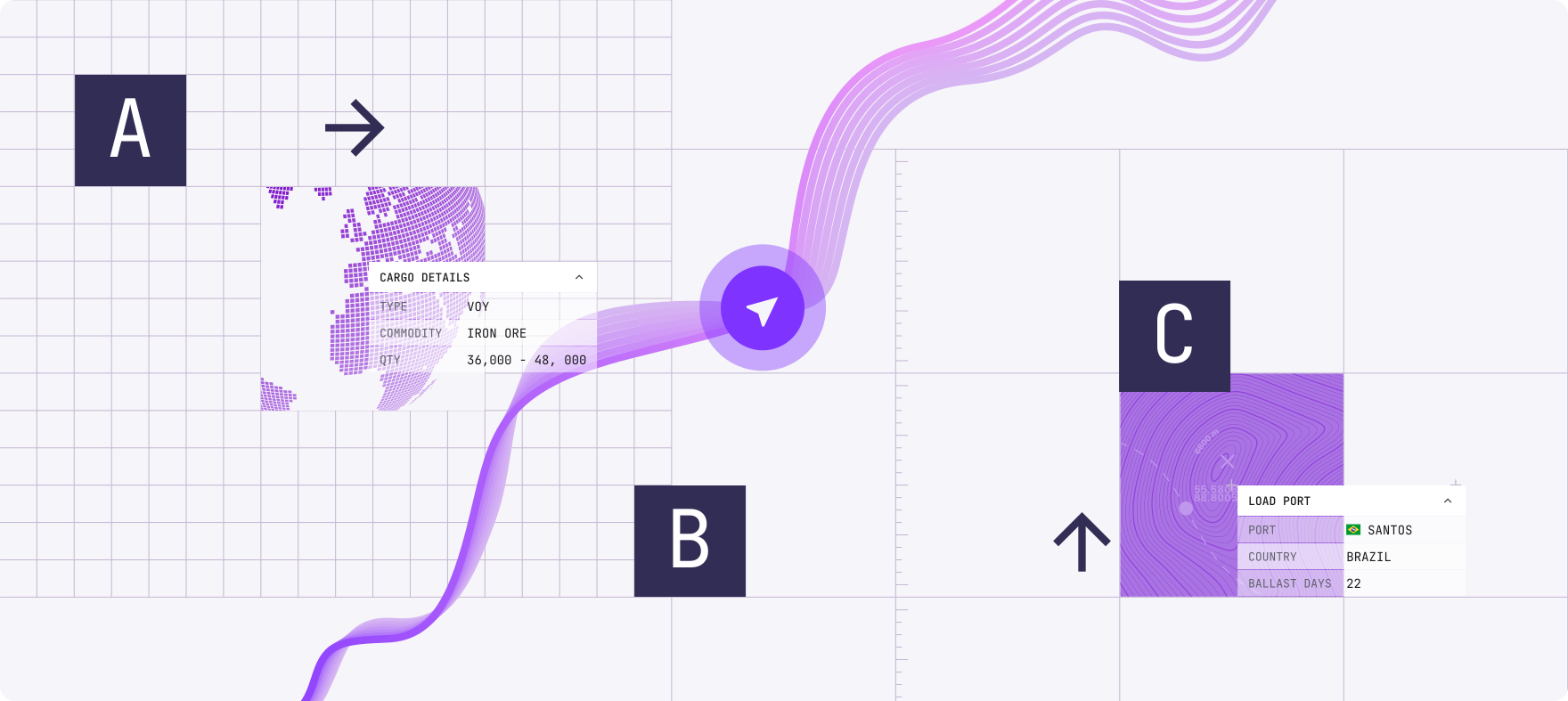
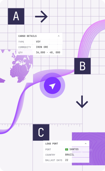
Distance calculations underpin voyage estimates, fleet planning, bunker models, and other shipping workflows. With the Distances API, you can bring maritime routing directly into your applications without building and maintaining your own routing engine.
Calculate Routes Worldwide
Calculate sea routes from port to port, point to port, or point to point across a global maritime network.
Account For Emission Control Areas
Identify, avoid, or optimise passage through Emission Control Areas when calculating a route.
Control Canals And Sea Passages
Allow or block routing through the Suez Canal, Panama Canal, Kiel Canal, North-West Passage, and North-East Passage.
Find The Port Data You Need
Look up ports and maritime locations by name, UN/LOCODE, ID or country, including latitude and longitude.
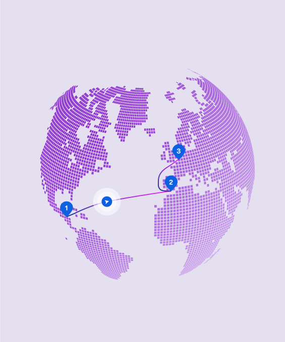

Define. Select ports or coordinates.

Route. Apply ECA, canal and passage preferences.
Calculate. Calculate the sea route and distance.

Connect. Return the result to your application or workflow.
Put distance data to work where decisions are made.
With the Distances API, you can bring maritime route distances directly into your existing systems, helping teams calculate voyage costs, plan routes, and evaluate voyage opportunities using consistent distance data.
Voyage Estimation
Bring sea distances into commercial models used to evaluate voyage opportunities and compare alternatives.
Fleet And Schedule Planning
Support vessel positioning, voyage planning, scheduling, and allocation with consistent route data.
Bunker, Cost And Emissions Models
Use calculated distance as an input to your own sailing-time, fuel-consumption, cost, and emissions calculations.
Customer And Internal Applications
Embed maritime routing into customer portals, operational tools, analytics products, and proprietary systems.
Object
Route Requests
25/ month quota
Hard Limit
Port Requests
50/ month quota
Hard Limit
Features
Reseller

Prioritised Support
New Location Within 24h
Pro
$99/ mo
For professionals who require more volume and performance for their application
Subscribe →Object
Route Requests
1500/ month quota
+$0.990 USD each
Port Requests
3000/ month quota
+$0.990 USD each
Features
Reseller
Prioritised Support
New Location Within 24h
Object
Route Requests
7500/ month quota
+$0.3000 USD each
Port Requests
15000/ month quota
+$0.3000 USD each
Features
Reseller
Prioritised Support

New Location Within 24h
Mega
Let’s Talk
For businesses that require high-volume, production level use, reseller licences included.
Contact us →Object
Route Requests
High-volume usage
Custom quota & pricing
Port Requests
High-volume usage
Custom quota & pricing
Features
Reseller
Prioritised Support
New Location Within 24h
Object
Route Requests
25/ month quota
Hard Limit
Port Requests
50/ month quota
Hard Limit
Features
Reseller
Prioritised Support
New Location Within 24h
Pro
$99/ mo
For professionals who require more volume and performance for their application
Subscribe →Object
Route Requests
1500/ month quota
+$0.990 USD each
Port Requests
3000/ month quota
+$0.990 USD each
Features
Reseller
Prioritised Support
New Location Within 24h
Object
Route Requests
7500/ month quota
+$0.3000 USD each
Port Requests
15000/ month quota
+$0.3000 USD each
Features
Reseller
Prioritised Support
New Location Within 24h
Mega
Let’s Talk
For businesses that require high-volume, production level use, reseller licences included.
Contact us →Object
Route Requests
High-volume usage
Custom quota & pricing
Port Requests
High-volume usage
Custom quota & pricing
Features
Reseller
Prioritised Support
New Location Within 24h
Frequently Asked Questions
Find answers to common questions about maritime distance calculations, routing preferences, and integrating the Distances API into your applications.
What can the Distances API calculate?
The Distances API calculates sea routes and distances between ports, from a coordinate to a port, or between two coordinates.

How quickly are routes calculated?
The API is designed to return route and distance calculations in seconds. Response time can vary depending on the request, routing options, and application environment.
Which routing preferences are supported?
Routes can account for Emission Control Areas and can be configured to allow or block supported canals and sea passages, including the Suez Canal, Panama Canal, Kiel Canal, North-West Passage, and North-East Passage.
How can I find a port?
Ports can be searched using attributes including name, UN/LOCODE, ID, or country. Results include location information such as latitude and longitude.
Does the API calculate sailing time, bunker consumption, costs or emissions?
The API returns route and distance data. Your application can combine that data with vessel speed, consumption, fuel-price, and other assumptions to calculate sailing time, bunker consumption, costs, and emissions.
Within Sedna VMS, distance data is connected with the wider voyage-estimation and planning calculations.
Is the Distances API part of Sedna VMS?
Distances provides the routing and distance foundation used within Sedna VMS. The Distances API is separately available for businesses that want to embed this capability in external applications and workflows.
What is the difference between the Distance Table and the Distances API?
Distance Table is the browser-based tool for searching locations, building routes, and calculating distances directly. The Distances API provides programmatic access for integrating these calculations into other applications.
Put trusted maritime distances to work.
Start calculating routes today or talk to us about high-volume and production use.